London Explained – The M25…

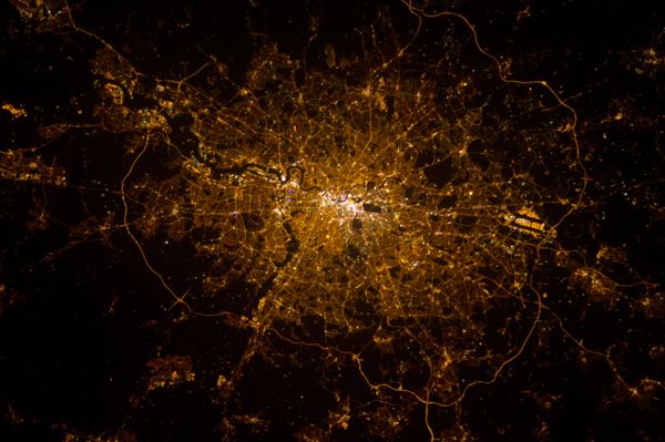
The M25 is an 117 mile-long orbital roadway which encircles most of the Greater London area.

Part of the M25 seen from a plane looking north as it took off from Heathrow. PICTURE: RFBailey (licensed under CC BY-SA 3.0)

Originally mostly built as a dual three lane motorway, widening has since taken place in more than half of it – to as much as six lanes in parts.

The idea was first proposed in the early 20th century and then re-mooted several times in subsequent decades before construction began in 1973.

The final section of the M23 was opened by then-Prime Minister Margaret Thatcher in 1986 (it was Europe’s longest ring road when it opened and has since been bypassed by the Berliner Ring).

The M25, which has 31 junctions, is these days one of the busiest motorways in Europe. It connects to 10 other motorways.

Connect Plus – a joint venture between Balfour Beatty, Atkins and Egis – works on behalf of National Highways to manage and operate the M25 network. 

LondonLife – The city illuminated…

London-at-night-(NASA)

An image of London taken from the International Space Station, about 240 miles above the Earth, on 2nd February, 2013. Writes Expedition 34 flight engineer Chris Hadfield – an astronaut with the Canadian Space Agency: “London, on the Thames, from the city to the encircling motorway. Heathrow very visible on the (west).” North is at the bottom of the image, making west on the right in this image. As well as the M25, the winding River Thames can be clearly seen cutting through the city centre. PICTURE: NASA