This north-eastern district of London’s name is apparently owed to a corruption the Anglo-Saxon place name Wilcumestowe.
That name – which means something like “a place where strangers are welcome” – is believed to have become confused with local landmark Waltham Forest, an early name used for the part of Epping Forest that centred on Waltham Abbey which lies to the north beyond the M25.
Hence we ended up with Walthamstow (although the name Waltham Forest is remembered in the name of the London borough of which Walthamstow is part).
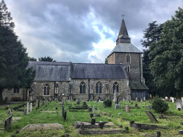
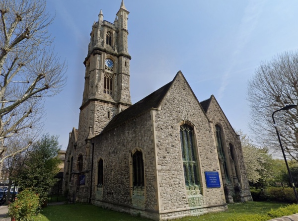
The Anglo-Saxon manor existed prior to the Norman invasion of 1066 and was recorded in the Domesday Book. Through marriage it passed into the hands of Norman Ralph de Toni, standard bearer to King William the Conqueror, and remained in his family until the 15th century. The family was responsible for the founding of St Mary’s Church, which still stands today, in the 12th century.
The village remained small – the area was populated by small scale farmers and yeomen – but during the 16th century wealthy people started constructing more substantial properties – these included navigator Sir Martin Frobisher, poet George Gasgoigne and Lord Mayor of London Sir George Monoux who built the Monoux Almshouses and School there (since rebuilt). Even diarist Samuel Pepys, had a connection, being entertained by Admiral Sir William Penn at a property in the village.
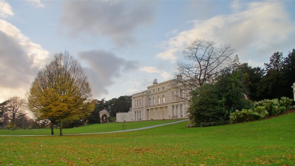
The trend for building large properties continued into the 18th century when included Water House was built. It later became a childhood home of Arts and Crafts designer William Morris and is now the home of the William Morris Gallery.
Urbanisation picked up pace in the 19th century and in the mid-1800s, more than 120 acres of the Walthamstowe Marshes to the west (the marshes followed the course of the River Lea and are now a site of Special Scientific Interest), were flooded to create reservoirs. Industry also moved in during this period and, in an unusual example of the sort of industry which took place in the area, the first British car with an internal combustion engine, the Brewer Car, was made in Walthamstow in the 1890s.
Development was further spurred by the arrival of the railways and, in 1930, the North Circular Road just to the north. In the late 1930s and early 1940s, the building of a rather grand new town hall and assembly hall moved the civic centre from where it had been on the High Street to Forest Road.
Redeveloped extensively after heavy bombing during World War II, Walthamstow became part of the London Borough of Waltham Forest in 1965.
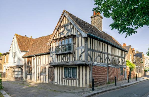
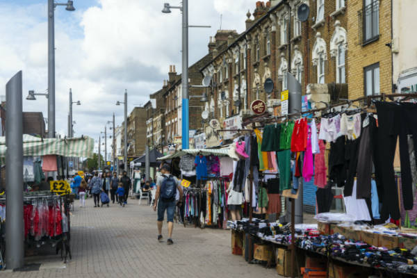
As well as St Mary’s and Morris’ former home, landmarks include the 15th century “Ancient House”, the Forest School (1834) with a chapel featuring stained glass by William Morris, the Vestry House Museum (1930), the Lighthouse Methodist Church (1893) and the Copper Mill (the latest incarnation of a mill which has been associated with the village since the early Middle Ages). The daily Walthamstow Market, which stretches along the High Street, claims to be the longest daily street market in Europe.