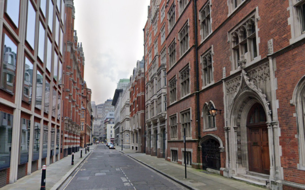
These two City of London thoroughfares – which run from Fleet Street down to Victoria Embankment (connected at Tudor Street) – both owe their name to the same institution.
A friary run by the Carmelites – also known as the “White Friars” because of the white mantle they wore over their brown habits – was established here in 1253 and enlarged until eventually it stretched all the way from Fleet Street down to the Thames.
The monastery was dissolved in the Dissolution and the buildings repurposed with the great hall becoming a playhouse.
The street marks the eastern boundary of the friary (then known as Water Lane).
A remnant of the monastery can be seen down Magpie Alley (see the post for more on the history of the priory).