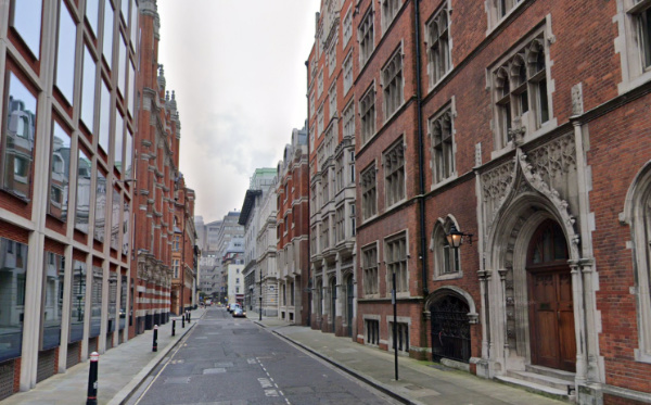
What’s in a name?…Carmelite Street (and Whitefriars Street)…

The view looking north from the southern end of Carmelite Street. PICTURE: Google Maps

These two City of London thoroughfares – which run from Fleet Street down to Victoria Embankment (connected at Tudor Street) – both owe their name to the same institution.

A friary run by the Carmelites – also known as the “White Friars” because of the white mantle they wore over their brown habits – was established here in 1253 and enlarged until eventually it stretched all the way from Fleet Street down to the Thames.

The monastery was dissolved in the Dissolution and the buildings repurposed with the great hall becoming a playhouse.

The street marks the eastern boundary of the friary (then known as Water Lane).

A remnant of the monastery can be seen down Magpie Alley (see the post for more on the history of the priory).

What’s in a name?…Hanging Sword Alley…

This narrow City of London passageway which runs between Whitefriars Street and Salisbury Square, just south of Fleet Street, is located in what was the precinct of the former Whitefriars monastery (what later became part of a somewhat lawless area known as Alsatia).

The name of the alley, which can be traced back to the mid-16th century, apparently relates to a hanging sign depicting a sword – hence “hanging sword” – and probably refers to a fencing school (the area was known for them) but it’s also been speculated the name could refer to a public house or brothel.

The alley was previously known as Blood Bowl Alley, a moniker derived from Blood Bowl House, a house of ill repute which once stood in the laneway (and featured in a William Hogarth’s Industry and Idleness series, in a plate depicting the Idle Apprentice, betrayed by a prostitute, being arrested).

The alleyway does get a mention in Dickens’ A Tale of Two Cities – it was here that he located the lodgings of Jerry Cruncher, the messenger for Tellsun’s Bank who makes money on the side as a ‘resurrection man’.

PICTURE: Google Maps