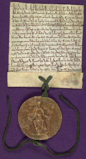
• One of only two surviving choirbooks from the reign of King Henry VIII is on display in a new exhibition at the Lambeth Palace Library. Sing Joyfully: Exploring Music in Lambeth Palace Library displays the ‘Arundel’ or ‘Lambeth’ Choirbook (Arundel, Sussex, c. 1525) – this year marking its 500th birthday – along with other items from the library’s collection such as two leaves of a 14th century polyphony recently discovered in the binding of an early printed book. The exhibition, which is free, can be seen until 6th November. For more, see www.lambethpalacelibrary.info/sing-joyfully/.
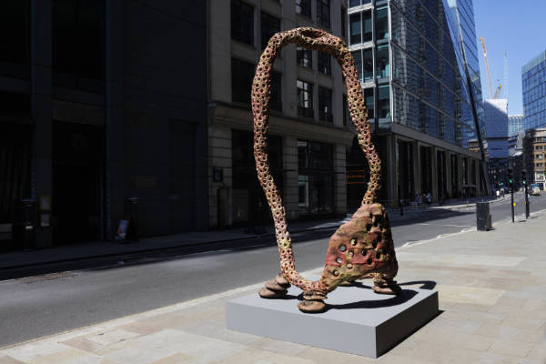
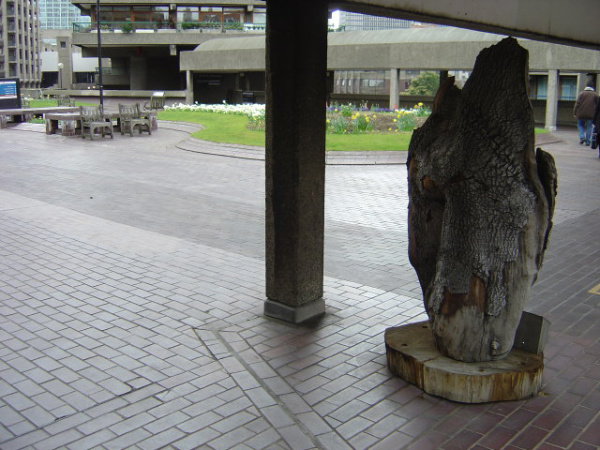
• On Now: Sculpture in the City. The 14th edition of the annual sculpture exhibition in the City of London features 11 pieces including three new works as well as six works which have been retained from previous iterations of the exhibition and two permanent acquisitions. The new works include: Ai Weiwei’s Roots: Palace, a cast-iron tree root sculpture located outside St Botolph without Bishopsgate which, as part of a series created in collaboration with Brazilian artists and communities, explores the concept of unrootedness; Jane and Louise Wilson’s Dendrophiles which, located beneath the escalators of The Leadenhall Building, combines ink drawings based on images of DNA with 3D scans of ancient oak wooden samples; and, Andrew Sabin’s Looping Loop which, located outside 70 St Mary Axe, which forms a continuous loop creating what’s described as a “lively, pulsating sensation”. Runs until April. For more – including a map of the locations – see https://www.sculptureinthecity.org.uk/.
• Rare, behind the scenes images of US band Blondie have gone on show at the Barbican Music Library from today. Taken by photographer Martyn Goddard during the group’s breakthrough year of 1978, the 50 images show the band in concert, backstage, in the studio and during photo shoots. The display of photographs is complemented by poster prints, album covers, tour and concert memorabilia, period cameras, and photographic equipment. There are also items lent by Alan Edwards, who has handled Blondie’s publicity since 1978, from his private collection. Blondie in Camera 1978 runs until 5th January. Admission is free. For more see, www.cityoflondon.gov.uk/services/libraries/barbican-music-library.
Send all items for inclusion to exploringlondon@gmail.com.