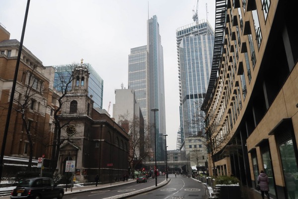
There’s many remnants of the Roman and later medieval wall which once surrounded the City of London – the towering section at Tower Hill near the Tower of London no doubt the most famous.
But there are several other stretches of the stone and brick wall left which evoke a sense of the structure it once was and the defensive role it played in protecting Londoners – among them is a substantial section of the wall located in Noble Street on the city’s western side.
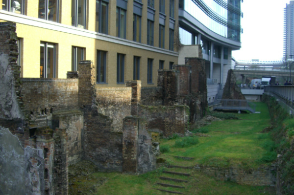
The 80 metre long section of Roman and later medieval remains includes two internal turrets on what was the west side of the Roman Cripplegate fort (built between 120 and 150 AD) as well as a substantial bastion located at the southern end of the site.
The highest fragment of the Roman wall can be seen opposite Oat Lane, near the southern end of the site, while the highest section of the wall – which stands some 4.5 metres high and is mostly medieval – can be seen at the northern end of the site.
As well as reflecting the City’s Roman and medieval history, this section of wall also evokes a sense of the horrors of the Blitz.
Projecting eastward on the inside of the wall are party walls from World War II bomb-damaged and later demolished homes which once fronted onto Noble Street.
WHERE: Noble Street, London (nearest Tube stations are Barbican and Bank; WHEN: Anytime; COST: Free.