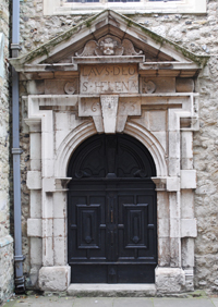
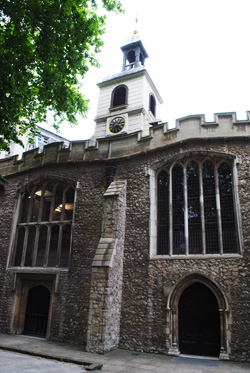
This church in the shadow of 30 St Mary Axe (aka The Gherkin) is all that remains of a Benedictine nunnery that was founded here during the reign of King John in 1210.
 Established by one “William, son of William the goldsmith” after he was granted the right by the Dean and Chapter of St Paul’s Cathedral, the priory was built to the north of a previously existing church with a new church for the nuns to use built right alongside the existing structure (thus accounting for the rarely seen side-by-side naves of the current building).
While the new church was built longer than the existing church, the latter was then lengthened to give them both the same length. A line of arches and a screen separated the nun’s choir and the parish church.
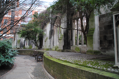
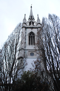
The church which stands today has been much altered over the centuries and what we now see there largely dates from the 14th and 15th centuries (although the bell turret which sits over the west front is an 18th century addition).
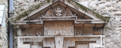
One of the priory’s claims to fame in medieval times was that it apparently was once home to a piece of the True Cross, presented by King Edward I in 1285.
The nunnery was dissolved in 1538 during the Great Dissolution of King Henry VIII and the buildings, excepting the church, sold off to the Leathersellers’ Company (all were eventually demolished by the 18th century). The screen separating the nun’s choir and the parish church, meanwhile, was removed, leaving the main body of the church as it can be seen today.
The now Grade I-listed church, which was William Shakespeare’s parish church when he lived in the area in the 1590s, survived both the Great Fire of London and the Blitz but was severely damaged by two IRA bombs in the early 1990s leading to some major – and controversial – works under the direction of architect Quinlan Terry.
Inside the church today is a somewhat spectacular collection of pre-Great Fire monuments including the 1579 tomb of Sir Thomas Gresham, founder of the Royal Exchange, the 1636 tomb of judge, MP and Chancellor of the Exchequer, Sir Julius Caesar Adelmare, and the 1476 tomb of merchant, diplomat, City of London alderman and MP, Sir John Crosby.
It was also once the site of the grave of 17th century scientist Sir Robert Hooke but these were apparently removed from the church crypt in the 19th century when repairs to the floor of the nave were being made and placed in an unmarked common grave. Their location apparently remains unknown.
WHERE: St Helen’s Bishopsgate, Great St Helens (nearest Tube stations are Aldgate, Bank and Liverpool Street); WHEN: 9.30am to 12.30pm weekdays daily (also usually open Monday, Wednesday and Friday afternoons but visitors are advised to telephone first); COST: Free; WEBSITE: www.st-helens.org.uk.